How GPS Works Explained: From Satellites to Your Phone
Open your maps app and tap the blue dot. Within seconds, your phone knows where you are on Earth — often within a few meters. It feels like magic, but it is actually one of the most impressive engineering systems ever built: a fleet of atomic clocks orbiting 20,000 kilometers above your head, combined with pure geometry and a correction from Einstein himself.
Here is how it all works, in plain English.
The Satellite Fleet Above You
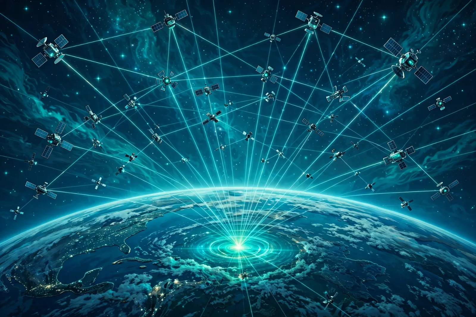
The Global Positioning System (GPS) is a constellation of about 31 operational satellites owned and operated by the U.S. Space Force (nominally 24 are needed for full global coverage; the extras are spares that keep the system reliable).
The satellites are arranged in six orbital planes, with about four satellites per plane, so that at least four — usually eight or more — are visible from anywhere on Earth at any time. They circle the planet at an altitude of about 20,180 kilometers (roughly 12,500 miles) in medium Earth orbit, completing one orbit every 11 hours and 58 minutes — meaning each satellite circles Earth twice a day.
Each satellite does something deceptively simple, over and over, without pause: it broadcasts a radio message that says, in effect, "This is where I am, and this is the exact time I am sending this." That message travels down to Earth at the speed of light — about 300,000 kilometers per second.
Here is the key detail: your phone never talks back. GPS is receive-only. Your phone simply listens to the signals raining down from space, which is why GPS works anywhere on Earth — deserts, oceans, mountains — with no cellular coverage and no internet needed. (Assisted GPS, or A-GPS, uses mobile data and Wi-Fi to speed up the first fix, but the core system needs neither.)
Step 1: Turning Time Into Distance
The core idea of GPS is beautifully simple: distance = speed × time.
When your phone receives a satellite's signal, it compares the time the message says it was sent against the time it arrived. The difference — the travel time — multiplied by the speed of light tells your phone how far away that satellite is.
To understand how precise this must be, consider the numbers: light travels about 30 centimeters in one nanosecond (one billionth of a second). A timing error of just one microsecond (one millionth of a second) translates to a position error of roughly 300 meters. The entire system is, at its heart, a timekeeping problem.
Step 2: Trilateration — Geometry From Space
Knowing your distance from one satellite is not enough: you could be anywhere on a giant invisible sphere surrounding it. So your phone listens to more satellites and combines the distances:
- One satellite → you are somewhere on a sphere.
- Two satellites → the two spheres intersect in a circle.
- Three satellites → the three spheres intersect at two points; one is in space, the other is on Earth's surface. That is you.
This method is called trilateration (not triangulation — there are no angles involved, only distances). It is simple, elegant geometry.
Step 3: The Fourth Satellite Fixes Your Cheap Clock
There is a catch. Every GPS satellite carries multiple atomic clocks — devices accurate to within nanoseconds, based on the behavior of cesium or rubidium atoms. Your phone does not. It has a cheap quartz oscillator that drifts by microseconds, and as we just saw, a microsecond of error means hundreds of meters of position error.
The fix is clever. Your phone's true position has three unknowns (latitude, longitude, altitude), and its clock error is a fourth unknown. So the receiver listens to a fourth satellite and solves a system of four equations with four unknowns. There is only one clock correction that makes all four satellite spheres intersect at a single point — the phone finds it, fixes its own clock, and corrects every measurement at once.
This is why GPS typically needs signals from at least four satellites to produce a full 3D position.
Step 4: Einstein Gets Involved
Here is the most remarkable part. GPS satellites move fast — about 14,000 kilometers per hour — and sit high above Earth's gravity well. According to Einstein's theories of relativity, both of those facts make time itself behave differently for the satellites than for you on the ground:
- Special relativity: because the satellites move fast relative to Earth, their clocks tick slower — losing about 7 microseconds per day.
- General relativity: because they are farther from Earth's gravity, their clocks tick faster — gaining about 45 microseconds per day.
The net effect: satellite clocks drift ahead by roughly 38 microseconds per day. Left uncorrected, that tiny drift would make your position wrong by about 10 kilometers after just 24 hours.
The solution is a piece of engineering audacity: the atomic clocks are deliberately built to run slightly slow on the ground (ticking at 10.22999999543 MHz instead of 10.23 MHz). Once the satellites reach orbit, relativity speeds them up to exactly the right rate. Every time your maps app works, it is quietly proving Einstein right.
Why GPS Is Sometimes Inaccurate
Under open sky, a modern smartphone's GPS is typically accurate to about 4.9 meters (16 feet) — good enough for turn-by-turn navigation. But accuracy degrades when:
- Buildings and terrain block signals — in city canyons or dense forest, signals bounce off surfaces (multipath), confusing the receiver.
- The atmosphere interferes — signals slow down slightly passing through the ionosphere and troposphere.
- Satellite geometry is poor — when the visible satellites are bunched together in one part of the sky, precision suffers (called dilution of precision).
Higher-end systems do better: receivers using the newer L5 signal can reach about 30 centimeters of accuracy, and professional surveying equipment with correction services achieves centimeter-level precision.
The Modern GPS Signal System
Civilian GPS broadcasts on several frequencies, most famously L1 (1,575.42 MHz) and L2 (1,227.6 MHz), with the newer L5 signal rolling out across the constellation. Satellites are also being replaced by the GPS III generation, built by Lockheed Martin, which offers three times better accuracy, up to eight times improved anti-jamming, and a 15-year design life. GPS III also broadcasts the new L1C civil signal, designed to be compatible with Europe's Galileo system so receivers can use both together.
GPS Is Not the Only System in Orbit
GPS was the first, but it is no longer alone. Most modern phones quietly use multiple systems at once, which improves accuracy and reliability, especially in cities.
| Feature | GPS (USA) | GLONASS (Russia) | Galileo (EU) | BeiDou (China) |
|---|---|---|---|---|
| Operational satellites | ~31 | ~24 | ~30 | ~35+ |
| Orbit altitude | ~20,180 km | ~19,130 km | ~23,222 km | ~21,500 km (plus GEO) |
| Orbital planes | 6 | 3 | 3 | 3 (+GEO/IGSO) |
| Civilian accuracy | ~5 m | ~5–10 m | ~1 m (20 cm with free High Accuracy Service) | ~3–5 m |
| Free for anyone | Yes | Yes | Yes | Yes |
| Notable extra | The original; widest device support | Best coverage near the poles | Highest civilian precision | Can send short text messages |
All four use the same basic physics — timing signals from atomic clocks — just with different fleets and slight design differences. Your phone benefits from all of them at once.
A Short History of the Blue Dot
GPS began as a U.S. military project. The first satellite launched in 1978, and the full constellation became operational in 1995. Originally, civilians got a deliberately degraded signal — a feature called Selective Availability that limited accuracy to about 100 meters, to prevent hostile military use.
In May 2000, President Bill Clinton ordered Selective Availability switched off. Overnight, civilian accuracy improved from about 100 meters to better than 20 meters — and the modern era of turn-by-turn navigation, ride-hailing, and location-based everything began. GPS has been free for anyone in the world ever since.
Today, GPS is more than a navigation tool — it is the world's clock. Cell towers, power grids, and stock exchanges all synchronize to GPS time, and over 4 billion military, civil, and commercial users depend on the signals daily. To go deeper on how the satellites themselves stay connected, see our explainer on satellite internet, and for how your phone's data connection works alongside it, read how 5G changes connectivity.
Takeaway Checklist
- GPS is a timing system, not a camera. It never photographs you or tracks you — your phone calculates its own position from broadcast signals and never transmits back.
- At least 4 satellites are needed for a full 3D fix: 3 for position, the 4th to correct your phone's cheap clock.
- Accuracy costs time. Every nanosecond of timing error equals 30 cm of position error — which is why satellites carry atomic clocks.
- Relativity is a real, daily engineering problem. Uncorrected, it would break GPS by ~10 km per day; engineers pre-detune the clocks to compensate.
- Open sky = good accuracy (~5 m). Tall buildings, tunnels, and heavy weather degrade it; high-end receivers reach centimeter precision.
- Your phone uses more than GPS. It likely combines GPS, Galileo, GLONASS, and BeiDou signals for better fixes.
- GPS works without internet. Assisted GPS (A-GPS) just makes the first lock faster using cell and Wi-Fi data.
The next time the blue dot locks onto your street, remember what is happening: four or more atomic clocks in orbit, traveling at 14,000 km/h, are shouting the time at the speed of light — and your phone is doing Einstein-level math to figure out exactly where you stand.
It is also the positioning technology that self-driving cars depend on to know exactly where they are.